loadingGif

Products and Services

Geodetic surveyors play a vital role in understanding three fundamental properties of the Earth: its geometric shape, its orientation in space, and its gravity field as well as the changes of these properties with time.

Co-ordinates of National Geodetic Control Points

Elevation data

TSM and Benchmark locality sketches

Reconnaissance reports of Trig Beacons

Establishment and maintenance of Geodetic control points

Reaffirmation of international boundary

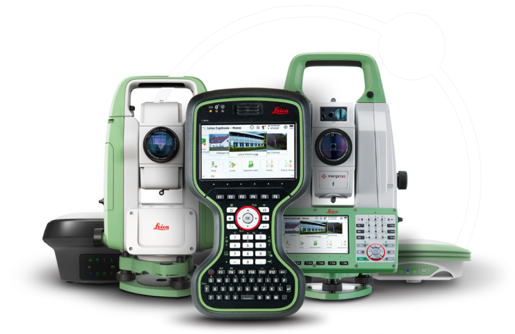
Standardization of survey equipment (EDM, measuring steel tapes)

Configuration of GNSS equipment to CORS

Provision of National
Control

  • Geographic and projected coordinates for trig beacons, TSMs, CORS
  • Provision of orthometric height
  • This data includes coordinates of control points, CORS station data, and other relevant information
  • Maintaining this data ensures its accuracy and accessibility for future use

Establishment of Geodetic
Control Points

  • Identification of suitable sites for geodetic control stations
  • Construction of geodetic control points
  • Measurements and computation of geodetic control points
  • Publication of coordinates of new geodetic control points

Maintenance of Geodetic
Control Points

  • Clearance of obstacles around monuments to maintain clear lines of site
  • Verification of position of control points
  • Inspection of geodetic control monuments

Reaffirmation of Zimbabwe
international boundary

  • Maintenance of international boundary
  • Sensitization of communities living along the Zimbabwe international boundary
  • Geodesy provides a common language and methodology for both sides to agree upon precise boundary coordinates and ensure a mutually recognized border definition

Standardization of Survey
Equipment

  • Electronic Distance Measurement (EDM)
  • Measuring steel tapes
  • These standards ensure instruments meet specific performance criteria for accuracy, precision, and durability

National Geodetic Control Network

The National Geodetic Control Network is a system of control points that provide a uniform reference system for surveying and mapping throughout the country. These control points have been monumented, established, and surveyed by Geodesists, to provide accurate horizontal and vertical positions.

This network is used for a variety of purposes, including cadastral and engineering surveys, as well as mapping.

Types of Geodetic Control

Benchmark

A benchmark is a fixed point of reference used to measure elevations in relation to a vertical datum. This point is marked by a monument, and the location and elevation of this marker are used as a reference point for further measurements in the area. Benchmarks are typically located on stable ground, such as a rock outcrop or concrete foundation. They are often used to create topographic maps and to monitor changes in land elevation over time.

Trigonometrical Beacon

A trigonometrical beacon is a type of survey monument used in the process of land surveying. Trigonometrical beacons are typically placed on prominent hills or mountain peaks and are used as reference points for surveying. Trigonometrical beacons are often identified with by whitewashed concrete pillar with a metal black vane on top, which makes them easy to identify from a distance.

Continuously Operating Reference Station (CORS)

This is a type of geodetic monument that is equipped with GNSS technology and can transmit data in real time. CORS monuments are typically located in fixed locations, such as on top of buildings or at the edge of fields, and are interconnected to each other via the internet to form the CORS network. This network of stations allows for precise determination of positions and elevations. CORS network is used in a variety of applications, including surveying, mapping, mining and precision agriculture among others.

Town Survey Marks (TSM)

Town Surveys Marks are types of monuments that are placed by Geodesists in cities, towns along street roads and are always intervisible to each other. These monuments are often used in conjunction with other survey monuments, such as benchmarks and trig beacons, to establish a precise network of reference points that can be used for land surveying.

Frequently Asked Questions